
Table of Contents
Parts of northern England and southern Scotland experienced early winter conditions as snow fell over higher ground. The Met Office issued a yellow warning for snow that remains valid until 11:00 GMT, with predictions of 5 to 15 centimeters of accumulation in locations above 300 to 400 meters of elevation.
Travel Disruption and Cold Alerts
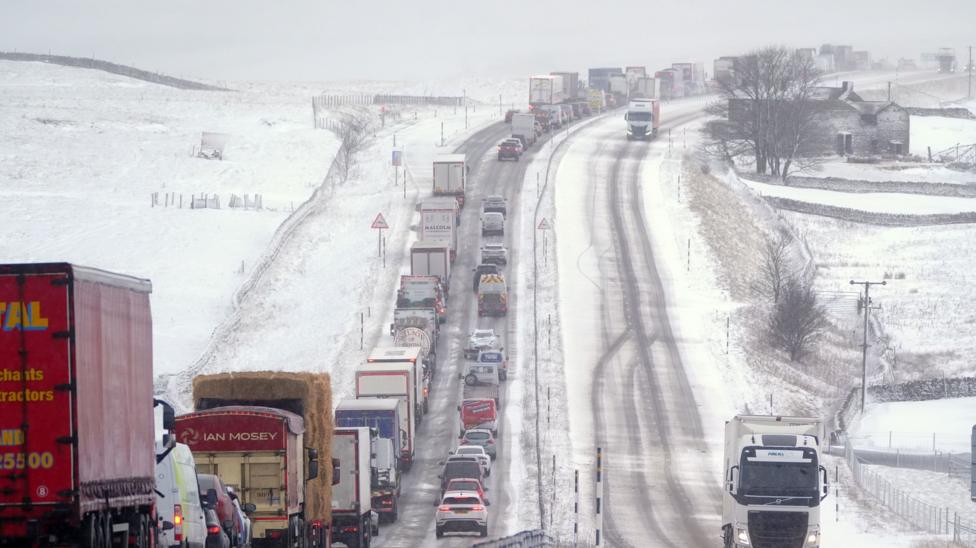
Major transport routes, including the A74(M), the A66, and the M62, faced potential problems and travel disruption. Railway services were also likely to experience delays and longer journey times. Additionally, the UK Health Security Agency (UKHSA) issued cold health alerts for northern England that remain in place until 09:00 GMT on Thursday.
Causes of the Winter Weather
A weather front pushed north and east across the United Kingdom, bringing rain to numerous areas. As it moved over northern England, it encountered a reservoir of colder and drier air. Some of the rain evaporated within this drier air, cooling the atmosphere further through evaporative cooling.
This process caused rain to transition into snow across parts of the Pennines, the Cumbrian Hills, and Scotland’s Southern Uplands. The snow fell in large, wet flakes capable of clinging to power lines and tree branches. This added weight, combined with wind gusts reaching 40 to 50 mph over high ground, created an additional risk of localised power outages from downed branches and power lines.
Duration and Upcoming Forecast
Accumulations of 1 to 5 centimeters were possible down to elevations of around 100 meters. Snow at lower elevations was expected to be short-lived and revert to rain by mid-morning, while the highest hills and mountains of Scotland and northern England maintained wintry conditions into the afternoon.
Cold rain outbreaks persisted across most northern regions through Tuesday afternoon, accompanied by hill fog and a chilly wind. Conversely, the southern part of the country enjoyed sunshine and blustery showers with milder temperatures reaching up to 14C.
Rain and showers will continue to affect Northern Ireland, England, and Wales over the next few days. Scotland will see lingering rain on Wednesday before high pressure introduces sunnier weather. This drier and sunnier weather will spread southward across most of the UK by the end of the week, bringing a return of cold air, overnight frosts, and scattered coastal showers.