

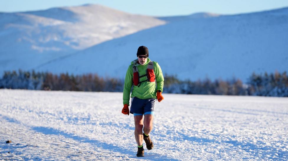
A blast of Arctic air is bringing freezing temperatures, ice, and hill snow to northern areas of the UK early this week. A yellow weather warning for snow takes effect early Tuesday as cold conditions grip the country.
Coldest Night and Active Weather Alerts
Monday began with sharp frosts across northern England, Scotland, and Northern Ireland, with Tulloch Bridge in Scotland registering an overnight low of minus 7.7 degrees Celsius, marking the season’s coldest night so far. Southern areas remained a few degrees above freezing, while a previous Met Office ice warning for parts of Scotland, Cumbria, Northumberland, and Durham expired on Monday morning.
The UK Health Security Agency has maintained cold health alerts for north-west England, north-east England, and Yorkshire and the Humber until 09:00 GMT on Thursday. These alerts are restricted to England to assist health and social care professionals.
Snow Warnings for Tuesday
The Met Office has issued a yellow weather warning for snow from midnight until 11:00 GMT on Tuesday, affecting the Midlands, north-east and north-west England, North Yorkshire, and south-west Scotland. Snow accumulations of 1 to 5 centimeters are expected widely, while locations higher than 300 to 400 meters could receive between 5 and 15 centimeters.
Authorities warn that roads and railways will likely experience disruptions, leading to extended travel times for bus, train, and car journeys, alongside potential power cuts. Meanwhile, the south will experience blustery winds and heavy showers as a milder front moves in, though the wintry chill in the south will remain short-lived with temperatures rebounding above average by midweek.