
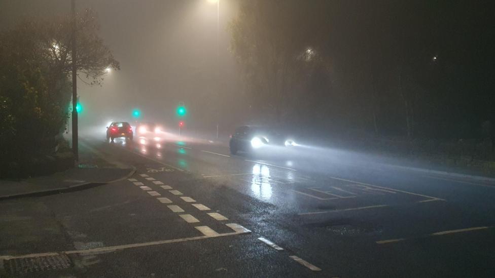
Thick fog has formed on Friday morning across parts of the United Kingdom, creating hazardous driving conditions for motorists. The Met Office has issued a yellow severe weather warning for fog spanning from Lincolnshire, the East Midlands, and the Home Counties into parts of Greater London.
Fog and Weekend Forecast
Visibility is dropping below 100 metres in places, with the disruption peaking during the morning rush hour. Forecasters explain that the fog will slowly thin, lift, and clear later in the morning, though rural spots in eastern England may hold onto the gloom until the afternoon.
Saturday will start with early morning mist and fog patches that could lift into low cloud and linger throughout the day. While many regions will experience dry conditions with spells of sunshine, north-west Scotland will see a weak weather front bringing thicker cloud and temporary rain. Temperatures are expected to remain close to the seasonal average.
Sunday’s forecast indicates that the dying weather front will push thicker cloud over Wales and central England, bringing a threat of light rain or drizzle. Meanwhile, the rest of the UK can expect a dry day featuring variable cloud cover and occasional sunny spells.
High Pressure and Drought Concerns
A building area of high pressure is set to dominate the UK over the coming days, contrasting sharply with last week’s storms driven by a powerful Atlantic jet stream. This high pressure will remain near the UK for at least ten days due to a diffluent blocking pattern in the jet stream across western Europe, keeping stormy weather away and delaying the arrival of Storm Chloe.
Although previous storms offered minor relief, the Environment Agency reports that 82% of England remains in drought status. Following a National Drought Group meeting, water companies are urged to accelerate leak repairs, while the public is advised to take shorter showers and turn off taps while brushing teeth.
Philip Duffy, Chief Executive of the Environment Agency, stated that the recent rain is welcome but insufficient to reverse months of hot, dry weather. He noted that rivers, reservoirs, and groundwater require sustained rainfall to recover fully.
The Environment Agency reports that a 20% increase in rainfall above average is required over the next six months to officially end the drought. Looking further ahead, the Met Office’s three-month outlook highlights that El Niño is linked to wetter autumn and early winter weather, showing double the usual chance of conditions turning wetter than normal.