

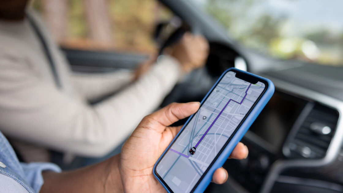
Driving to unfamiliar locations can be stressful, and the challenge often grows with age. According to Engadget, Google Maps stands out as a reliable and easy-to-use GPS navigation app that provides peace of mind and clear directions for older drivers.
Why Google Maps Suits Older Drivers
While rivals like Waze offer flashy features, Google Maps provides a clean interface without constant pop-ups and alerts. This simpler design helps drivers focus on the road rather than getting distracted by crowd-sourced icons. Furthermore, the application is frequently pre-installed on Android devices and is readily available for download on both the Google Play Store and Apple’s App Store.
The platform handles route calculation, traffic monitoring, and time tracking automatically. To avoid guessing departure times for appointments, users can look up a destination, tap directions, and select the car icon. By tapping the three dots in the top right corner and choosing to set a departure or arrival time, the app factors in typical traffic conditions and notifies the user precisely when they need to leave.
Real-time traffic updates use clear color coding, displaying green for clear paths, yellow for slower areas, and red for heavy congestion. The software also delivers spoken turn-by-turn directions, announcing upcoming turns, street names, and remaining distances so drivers can keep their eyes on the road. If a turn is missed, the route recalculates automatically.
Offline Capabilities and Extra Features
For rural roads or parking garages with weak cellular signals, offline map downloads ensure the navigation system keeps functioning without an internet connection. Users can tap their profile picture, select offline maps, choose their own map, and zoom in on the desired area before downloading, though traffic updates will not be available offline.
Beyond driving, the application assists with walking and public transit by detailing bus routes, stop counts, and walking distances. Users can also locate nearby gas stations, check business reviews, and view menus before departing. Additionally, enabling accessibility information through the app and display settings highlights wheelchair-accessible features such as entrances, seating, and parking.