

Table of Contents
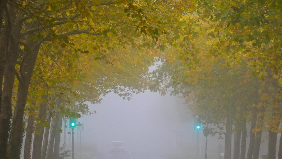
Dense fog is expected to blanket parts of the UK on Sunday and persist into the coming week, creating hazardous conditions for motorists. England and Wales faced the initial impact on the weekend before the threat transitions northward in the following days.
Weather Warnings and Fog Distribution
According to BBC News, the Met Office issued yellow weather warnings for early Saturday and Sunday mornings, noting that road visibility could drop below 100 meters in certain areas. Sunday morning alerts covered southern England, the Midlands, East Anglia, Lincolnshire, Yorkshire and Humber, and eastern Wales, alongside patchy mist in northwest England and southern Scotland.
A weak weather front brought cloud cover and light drizzle over southern Scotland, northern England, and the far north of Wales, creating hill fog in those locations. Meanwhile, brighter conditions and autumn sunshine developed across Scotland and Northern Ireland.
Northward Shift and Travel Disruption
High pressure will dominate the weather system from Monday onward, causing the fog risk to migrate toward northern regions. Clear overnight skies and light winds will allow mist and fog patches to form easily during cooler nights.
Regions most vulnerable to dense morning fog during the week include the Scottish glens, the Central Belt, the Cheshire Plains, the Vale of York, and parts of Northern Ireland, though other areas may also experience patches. BBC News reports that travel disruption is possible because these formations may linger and remain slow to clear.
Temperature and Settled Conditions
Daytime temperatures will stay close to early November averages, ranging from 11 to 14C from north to south, though prolonged low cloud could make certain locations feel noticeably cooler. Overnight lows are predicted to drop to 2 or 3C in the north and reach 5 to 8C in the south.
With high pressure persisting, the largely dry weather pattern and lack of significant rainfall are projected to continue through early November.